Total length: 214 km
Total stages: 15
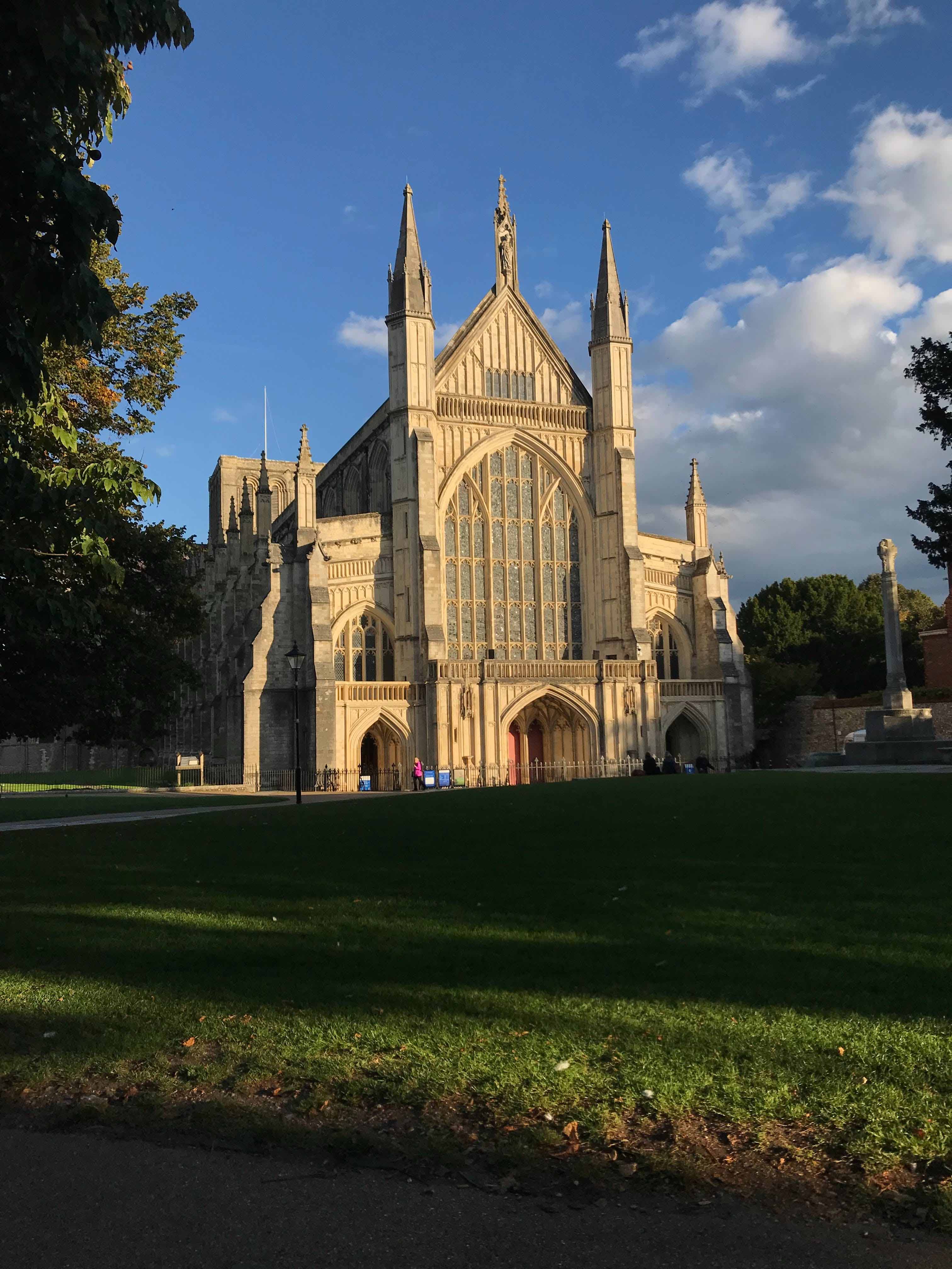
Departure: Winchester
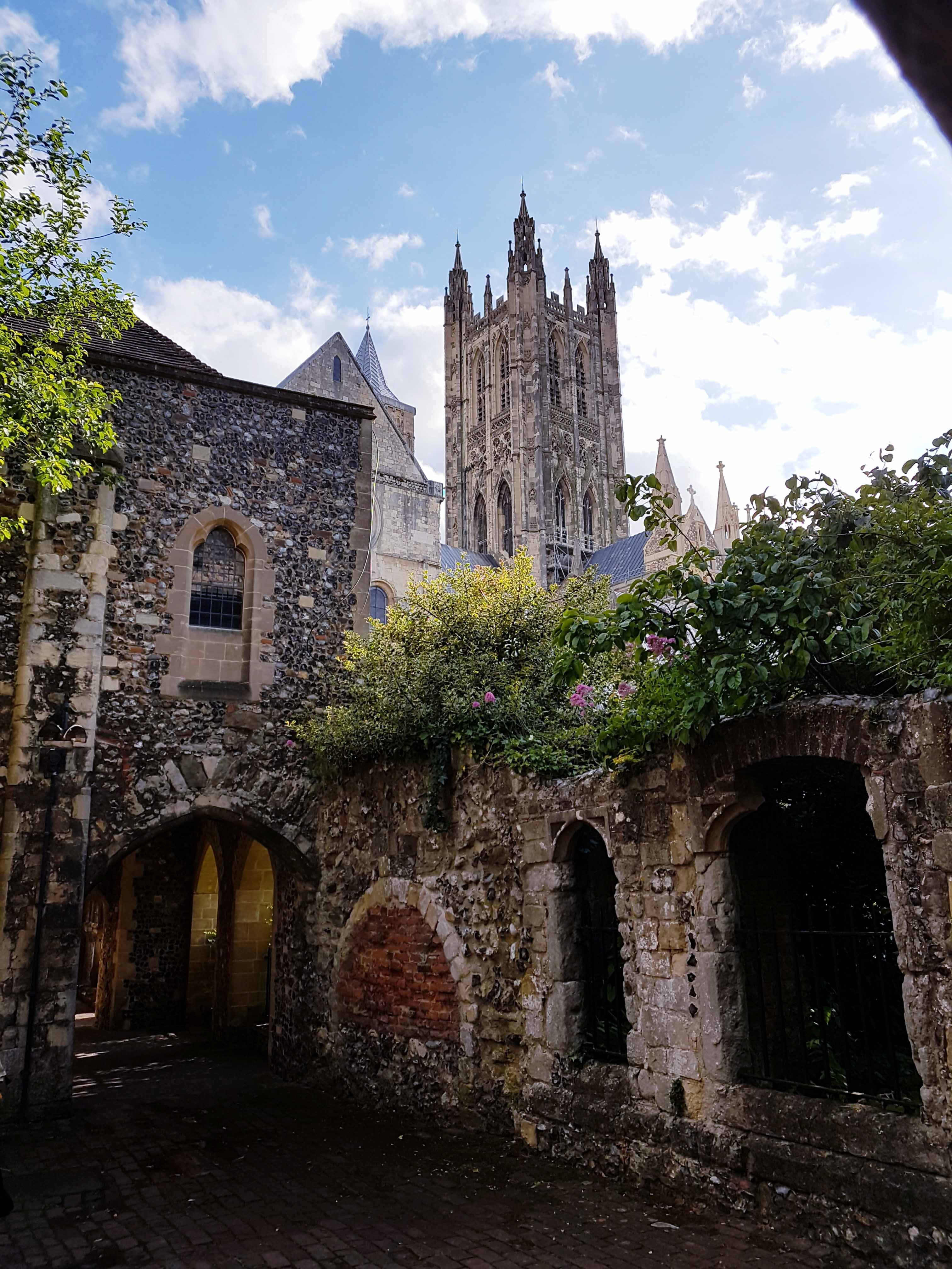
Arrival: Canterbury
4 counties crossed: Hampshire, Surrey, Greater London, Kent.
The ancient Harroway, originally a broad and ill-defined track, connected the English Channel’s narrowest point to Avebury and Stonehenge in Wiltshire, known as the Pilgrims’ Way. Used for over 3000 years, this route, described as “corridors of movement up to half a mile wide,” served as a vital artery for Roman through traffic. From 1173 to 1538, pilgrims flocked from Winchester to Canterbury, making it a crucial pilgrimage route after Thomas Becket’s canonization. Winchester, a regional hub, was a focal point for travelers from south coast seaports. The estimate of 100,000 yearly pilgrims is contested, with a more realistic figure around 1,000.
The concept of a single Pilgrims’ Way route emerged in the Victorian era, notably on the 1871 Ordnance Survey map, later acknowledged as an archaeological blunder. Despite modern maps being unsuitable for mass movement and leaving few traces of historical activity, the name Pilgrims’ Way has deep historical roots. The Powell and Pressburger film “A Canterbury Tale” prominently features the Pilgrims’ Way, panning along its route on a map at the film’s beginning.
Stage 1: Winchester to Alresford
Distance: 14.4 km / 9 mi
Stage 2: Alresford to Alton
Distance: 19.3 km / 12 mi
Stage 3: Alton to Farnham
Distance: 17.7 km / 11 mi
Stage 4: Farnham to Guildford
Distance: 16.8 km / 10.5 mi
Stage 5: Guildford to Box Hill
Distance: 21.7 km / 13.5 mi
Stage 6: Box Hill to Merstham
Distance: 15.6 km / 9.75 mi
Stage 7: Merstham to Oxted
Distance: 12.8 km / 8 mi
Stage 8: Oxted to Otford
Distance: 19.3 km / 12 mi
Stage 9: Otford to Wrotham
Distance: 9.2 km / 5.75 mi
Stage 10: Wrotham to Halling
Distance: 11.6 km / 7.25 mi
Stage 11: Hallong to Aylesford
Distance: 7.6 km / 4.75 mi
Stage 12: Aylesford to Harrietsham
Distance: 17.7 km / 11 mi
Stage 13: Harrietsham to Boughton Lees
Distance: 17.7 km / 11 mi
Stage 14: Boughton Lees to Chilham
Distance: 9.6 km / 6 mi
Stage 15: Chilham to Canterbury
Distance: 11.2 km / 7 mi
Waymarking on the Pilgrims’ Way is rather infrequent. When the route aligns with National Trails like St. Swithun’s Way or North Downs Way, the marking is excellent, featuring the recognizable acorn trail symbols of the British National Trail System.
Because waymarking is rather scarse along the Pilgrims’ Way, we highly recommend pilgrims to purchase the guidebook by Cicerone and download the GPX tracks available on this page, for use on a mobile device.
Just like other Pilgrimage Routes in Europe, the Pilgrims’ Way also has its very own Pilgrim Passport. In the past the main role of these passports was to guarantee the pilgrim’s safe passage on their way to and from their destination.
The modern Pilgrims’ Way passport can be obtained at Winchester Cathedral, Southwark Cathedral (London), and Rochester Cathedral. If you prefer to receive your passport at home before beginning your adventure, you can send a self-addressed, £2 stamped envelope to:
Canterbury Cathedral
Cathedral House
11 The Precincts
Canterbury, CT1 2EH
United Kingdom
Make sure to clearly mark your request as “Pilgrim Passport” and keep in mind that at least two weeks are needed for delivery.
The Pilgrim’s Way in England offers various accommodations, including pubs, inns, and bed & breakfasts. However, it differs from the Camino de Santiago as it lacks familiar pilgrim lodgings like albergues and municipal lodging. It’s important for English travelers to note that not all pubs on the route serve food; some function more as bars.
Guidebooks, such as Cicerone‘s The Pilgrims’ Way, provide stage suggestions and lodging options. Keep in mind that this guide may not be frequently updated. We encourage pilgrims to utilize online booking platforms like booking.com or Airbnb for additional accommodation options. We also advise to secure bookings at least a few days in advance to ensure a comfortable journey.
The best time to embark on a pilgrimage along the Pilgrims’ Way in the UK depends on your preferences for weather and the type of experience you’re seeking.
Spring (March to May)
Weather: Spring is a lovely time to walk or cycle the Pilgrims’ Way. The weather starts to warm up, and you’ll likely encounter blossoming flowers and lush landscapes.
Pros: Mild temperatures, longer days, and the countryside coming to life with new growth.
Cons: Some trails may still be a bit muddy from winter rains.
Summer (June to August)
Weather: Summer offers warm and generally dry weather. It’s a popular time for outdoor activities, so you may encounter more fellow travelers.
Pros: Long days, pleasant temperatures, and the countryside in full bloom.
Cons: Potentially crowded trails and accommodations might be booked in advance.
Autumn (September to November)
Weather: Autumn can be a beautiful time for a pilgrimage, with cooler temperatures and stunning foliage.
Pros: Crisp air, fewer crowds, and the countryside turning into vibrant autumn colors.
Cons: Days start to get shorter, and some accommodations may close for the season.
Winter (December to February)
Weather: The winter months bring cooler temperatures and the possibility of rain or even snow in some areas.
Pros: Trails tend to be less crowded, providing a more solitary experience. You may also find quieter, reflective moments.
Cons: Shorter days, potential for inclement weather, and some accommodations or services may be closed.
Keep in mind that weather in the UK can be unpredictable, so it’s always a good idea to check the forecast closer to your departure date. Additionally, certain sections of the Pilgrims’ Way may be more affected by weather conditions than others. For example, some parts of the trail may be more exposed and susceptible to wind and rain.
Regardless of the season, make sure to pack appropriate clothing and gear for the conditions you might encounter. It’s also a good idea to plan ahead and book accommodations in advance, especially during busier times of the year.
The Pilgrims’ Way is a relatively unknown pilgrimage route compared to its big brothers in Spain and Italy. Therefore not many paper guidebooks are available. We recommend to buy “The Pilgrims’ Way: to Canterbury from Winchester and London” by Leigh Hatts from Cicerone Press.
Since there is no Pilgrims’ Way APP yet, we recommend that you download the GPX files of the itinerary to your phone and use an APP such as Komoot or AllTrails to navigate along the route.
As we have mentioned before, signposting and waymarking are not consistent along the Pilgrims’ Way, making it essential you either use a paper guidebook or GPX files on your mobile device to make sure you find your way.
Click here to download GPX file from Winchester to Canterbury
Click here to download GPX file from Southwark to Kemsing (Becket Way)
For more information about the Pilgrims’ Way we invite you to visit the website of the British Pilgrimage Trust.