Ireland
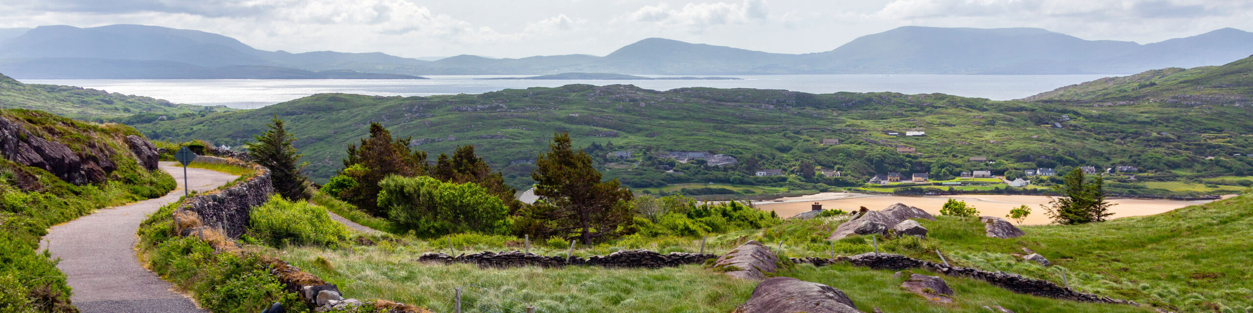
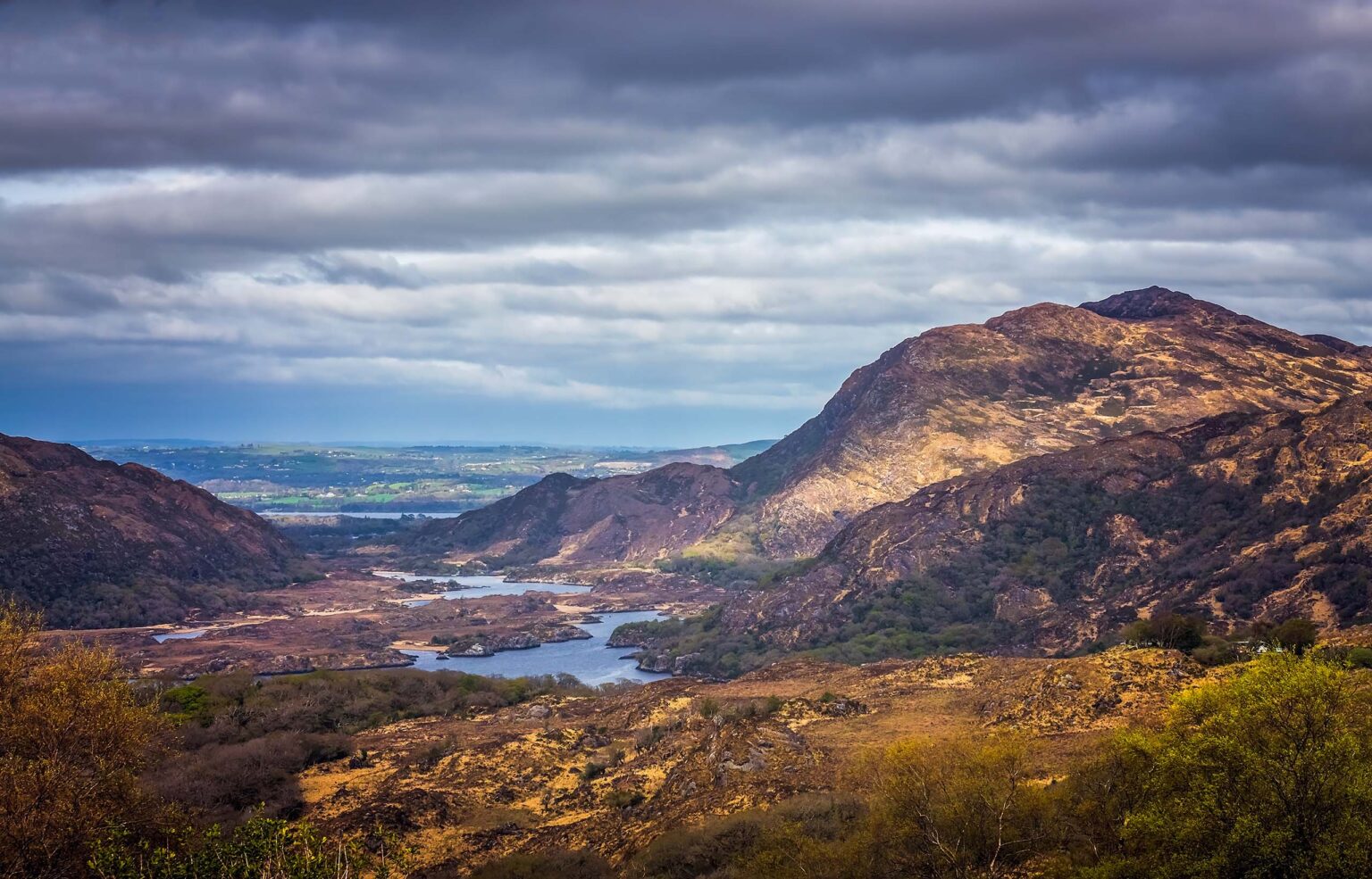
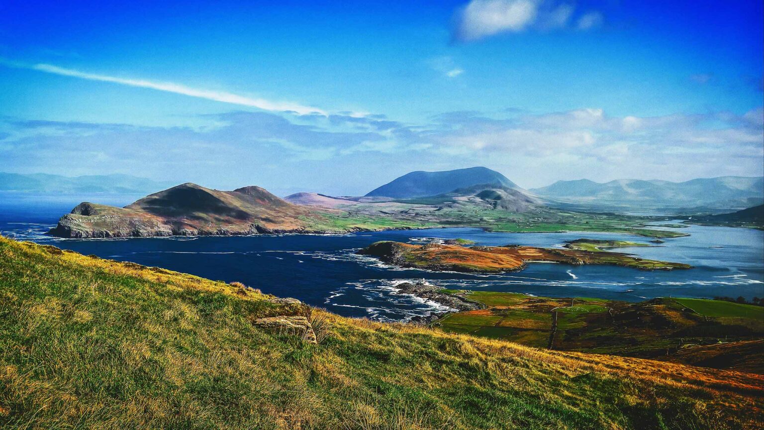
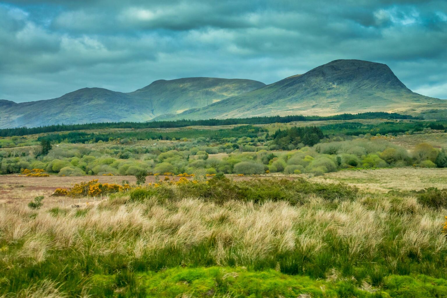
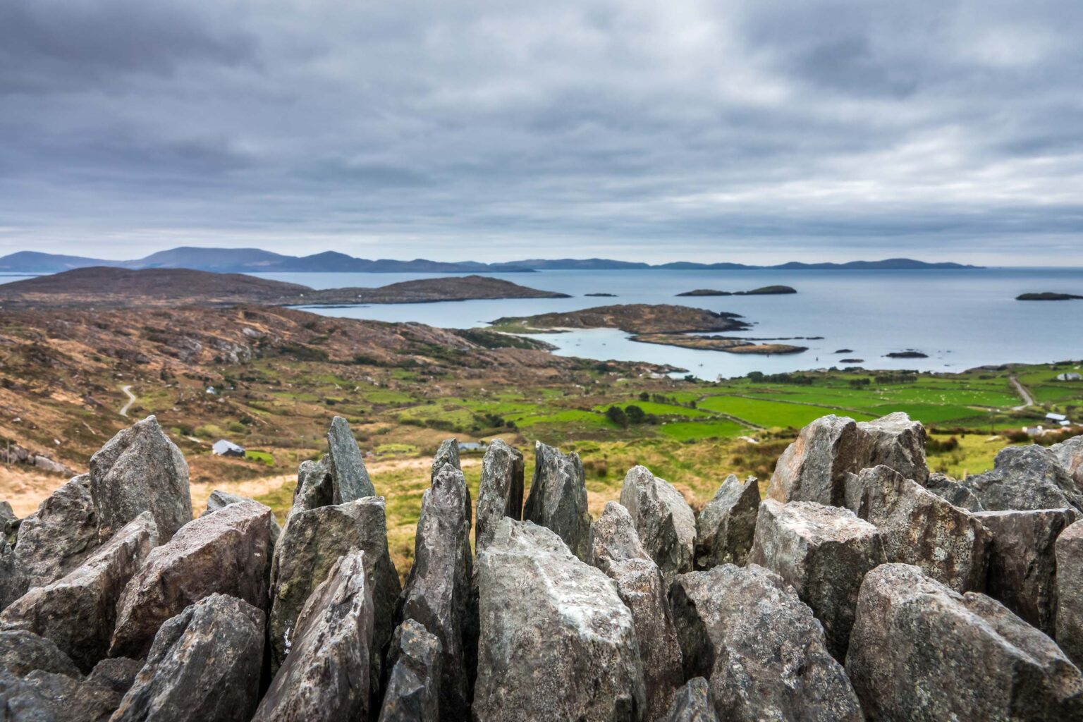
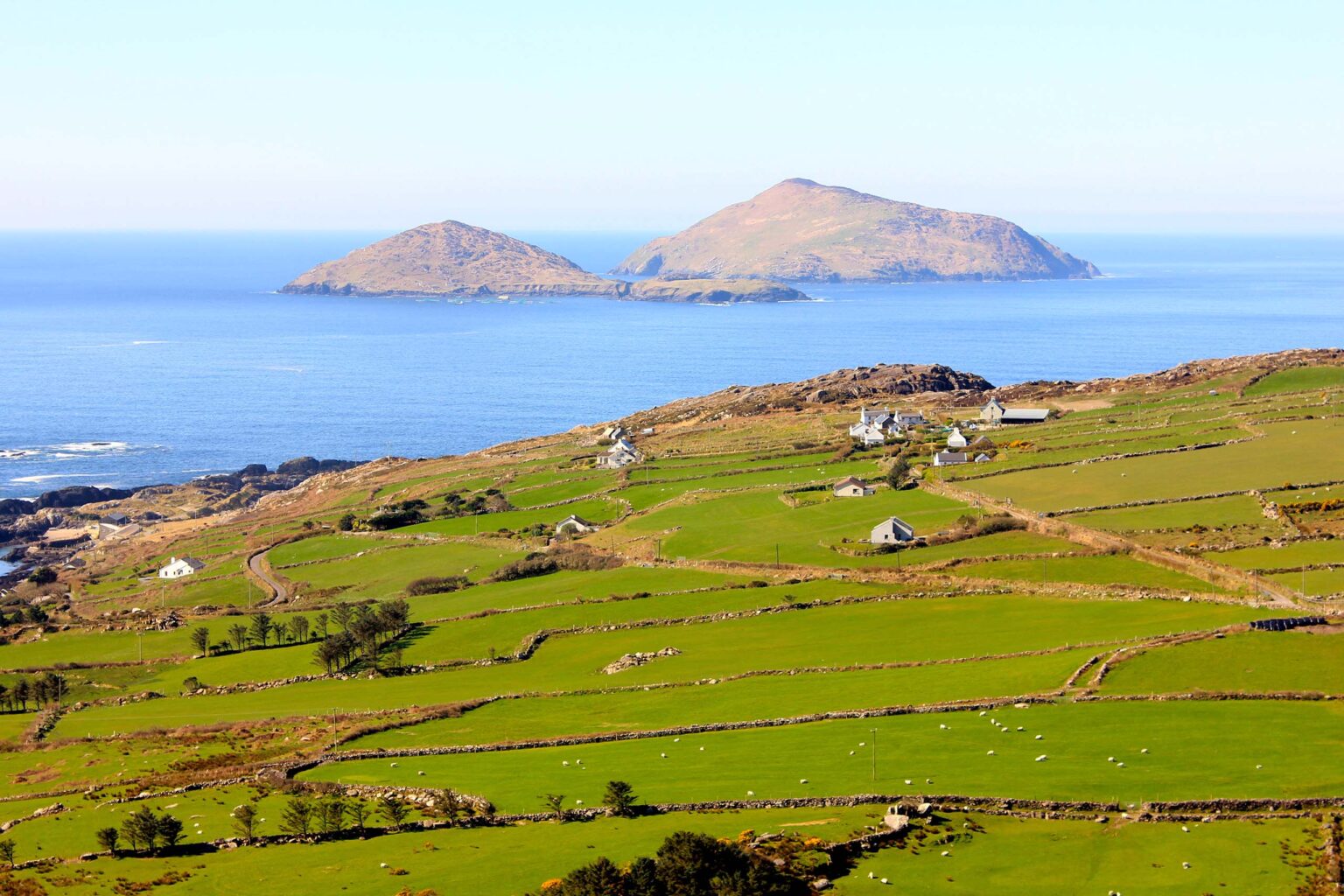
The Kerry Way, spanning over 200km, is among Ireland’s lengthiest signposted long-distance hiking trails and a top choice for adventurers. Starting and ending in bustling Killarney, it winds around the Iveragh Peninsula, showcasing isolated and breathtaking landscapes.
While Kerry boasts Ireland’s tallest mountains, the hiking route sticks to lower mountain ridges, offering diverse scenery. The trail is designed to expose hikers to various landscapes, providing a rich experience of the county.
For ease of navigation, the itinerary is divided into nine stages. Though typically completed in nine days, this can be strenuous. For a more leisurely experience, consider extra time for rest days or shorter daily distances.
Total length: approx. 210 km
Total stages: 9
Departure: Killarney
Arrival: Killarney
The Kerry Way may be a recent addition to European long-distance hiking trails, but the footpaths, trails, and scenic beauty have always existed.
Originating in the 1980s, locals aimed to enhance accessibility for walkers around Killarney and the southwest of Ireland. Leveraging existing networks of old trails and footpaths, often unmapped, they pieced together a circular route with the cooperation of landowners. This route was then upgraded, mapped, and waymarked, allowing visitors to easily navigate and enjoy the stunning landscapes of County Kerry.
Today, the Kerry Way is one of Ireland’s premier long-distance hiking routes, drawing enthusiasts from far and wide.
The Kerry Way is divided into 9 official stages, some of which however can be a little bit too long for some hikers. We therefore recommend, where necessary, to spilt these official stages up into shorter stages.
Kerry Way stage 1
From Killarney to Black Valley
Distance: 22.9 km / 14.2 mi
Click here to download the GPX track of this stage
Kerry Way stage 2
From Black Valley to Glencar
Distance: 21.6 km / 13.4 mi
Click here to download the GPX track of this stage
Kerry Way stage 3
From Glencar to Glenbeigh
Distance: 18.5 km / 11.5 mi
Click here to download the GPX track of this stage
Kerry Way stage 4
From Glenbeigh to Cahersiveen
Distance: 29.1 km / 18.1 mi
Click here to download the GPX track of this stage
Kerry Way stage 5
From Cahersiveen to Waterville
Distance: 29.7 km / 18.5 km
Click here to download the GPX track of this stage
Kerry Way stage 6 – Coastal Route
From Waterville to Caherdaniel
Distance: 14.4 km / 8.9 mi
Click here to download the GPX track of this stage
Kerry Way stage 6 – Inland Route
From Waterville to Caherdaniel
Distance: 28.2 km / 17.5 mi
Click here to download the GPX track of this stage
Kerry Way stage 7
From Caherdaniel to Sneem
Distance: 17.3 km / 10.8 mi
Click here to download the GPX track of this stage
Kerry Way stage 8
From Sneem to Kenmare
Distance: 34.5 km / 21.4 mi
Click here to download the GPX track of this stage
Kerry Way stage 9
From Kenmare to Killarney
Distance: 25 km / 15.5 mi
Click here to download the GPX track of this stage
For outdoor enthusiasts who prefer to travel by bicycle, there is some good news! An alternative to the hiking trail is available for cyclists, and it’s called the Ring of Kerry.
This route basically follows the N70, N71, and N72 asphalted roads, except for the peninsula of Skellig and Valentia Island where it continues on picturesque secondary (coastal) roads.
Below you will find a map of the full Ring of Kerry route. If you want to download the GPX track of this route, please click here.
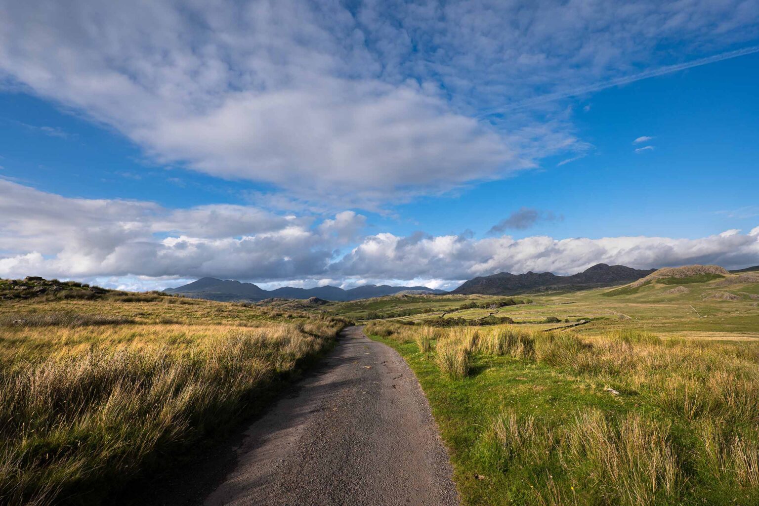
The Kerry Way features extensive signage throughout its entire route. Yellow arrows, characteristic of Ireland’s longest trails, lead you accurately at every junction, greatly minimizing the risk of losing your way or making a wrong turn.
We do however recommend to not only rely on physical waymarking along the route, but to also download the GPX tracks on your mobile device and if available, also bring with you a paper guidebook or map.
On the official website of the Kerry Way a passport is mentioned, but information seems to be a bit outdated.
On the same page a Kerry Way certificate is mentioned that hikers can apply for but unfortunately there is no mention as to where this certificate can be picked up.
For further information about this passport and certificate, we recommend you contact Trailhead Ireland, which seems to be an umbrella organization for Ireland’s long-distance trails.
Given its popularity as a hiking destination, the Kerry Way offers many different accommodation options. For those carrying their own gear, camping along the trails is feasible, with designated spots equipped with facilities.
Alternatively, travelers preferring not to carry camping equipment can find comfortable lodging each night. Guesthouses and bed and breakfasts dot the route, often nestled in charming old farmhouses or rural villages, offering opportunities to connect with locals.
During peak season, booking accommodations in advance is advisable due to high demand. Many travel companies offer walking packages, handling accommodation bookings and luggage transfers between hotels, allowing you to focus solely on enjoying the scenery.
Alongside accommodation, there are ample opportunities to replenish supplies. Villages along the way boast pubs and cafes serving local fare, while shops provide essentials for those cooking their own meals.
If self-catering, ensure to bring an adequate supply of gas or fuel for cooking stoves, as replenishment may be limited. Remember to dispose of rubbish responsibly to maintain the cleanliness of the Kerry Way for all visitors.
On this webpage you can find more information about accommodations along the route, although the webpage may be a little outdated. We therefore also recommend that you keep an eye on other websites such as booking.com or airbnb.com.
The peak season for walking the Kerry Way is during the summer, offering long daylight hours and abundant sunshine. From May to September, the trail sees the highest foot traffic, coinciding with the hottest daytime temperatures, often reaching the high 20s Celsius.
March and April also present favorable hiking conditions, with milder temperatures and fewer crowds along the trails. While winter trekking is possible, it requires thorough preparation with ample warm clothing and waterproof gear, as well as anticipation of shorter daylight hours and increased rainfall.
No matter when you embark on the journey, it’s crucial to stay informed about the expected weather conditions each day. Especially during late Autumn to early Spring, be mindful of the heightened chance of unfavorable weather, such as high winds, heavy rain or sleet, and even snow blizzards. Combined with shorter daylight hours, these conditions can make the journey exceptionally challenging.
For your adventure along the Kerry Way, we recommend you bring a paper guidebook with you. The following guidebooks are currently on the market:
Rucksack Readers
Kerry Way guidebook
Collins Press
The Kerry Way – A Walking Guide
Conrad Stein Verlag
Irland: Kerry Way (in German)
There seem to be a couple of companies offering luggage transport services for hikers along the Kerry Way. To confirm their availability however, we highly recommend contacting these companies directly. Information we currently have may not be 100% up to date.
Please note that the second link above is an accommodation. Oftentimes accommodations are more than willing to help out with your luggage transfer for a (small) fee. We therefore recommend to ask them if they offer such a service upon booking with them.
For more information please visit this website.